
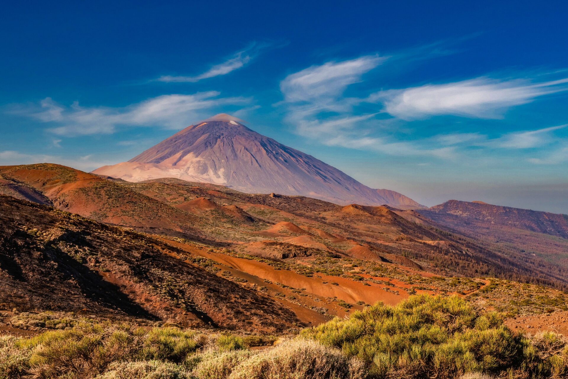
The Teide volcano at 3,718m on Tenerife that is the third-tallest volcanic structure from its base on Earth, the Timanfaya lava fields of Lanzarote that were still hot when Manrique walked on them in the 1970s, the Caldera de Taburiente on La Palma that is one of the largest erosion calderas in the world, the Roque Nublo on Gran Canaria that rises from the cloud layer that covers the southern plains, and why the Canary Islands extend far beyond the resort strip that most UK visitors see from a sunlounger.
Reading time: 10 minutes | Last updated: 2026
Most UK visitors to the Canary Islands see: the resort strip (Playa del Inglés on Gran Canaria, Playa de las Américas on Tenerife, Puerto del Carmen on Lanzarote), the beach, the all-inclusive, and the airport. The Canary Islands that exist above, behind, and beyond the resort strip are categorically different — active volcanic landscapes, laurisilva forest, Guanche (the indigenous Canarian people) archaeological sites, and the specific Atlantic geography that makes each island distinct.
The Island by Island Guide
Tenerife:
The most visited Canary Island, with Mount Teide dominating. The Teide summit cable car (the Teleférico del Teide, ascending to 3,555m — the final 163m to the actual summit requires a free permit from reservasparquesnacionales.es, bookable 3 months ahead) gives the finest high-altitude volcanic landscape available in Europe. The descent on the Las Cañadas caldera floor (the floor of the ancient caldera surrounding Teide, the pumice and the lava formations, the Parador de Las Cañadas del Teide giving the only accommodation inside the national park).
The Anaga Rural Park (the northeastern corner of Tenerife — the laurisilva forest, the deepest ravines in the Canaries, the Taganana village on the north coast accessible by a road that defeats most rental car undercarriages). Day hiking from Santa Cruz de Tenerife (1 hour by bus to the Anaga): the specific forest-to-sea views of the Anaga coast.
Lanzarote:
The volcanic island — the Timanfaya National Park (the eruptions of 1730-1736 that buried 11 villages and created the current landscape of 300 volcanic cones and the Montañas del Fuego — the Fire Mountains — where the earth temperature at 10cm depth is 120°C and at 10m depth is 600°C). The El Diablo restaurant at the Islote de Hilario: the grill powered entirely by geothermal heat from a 6m-deep vent — the chicken, the fish, the steak cooked by volcanic heat.
César Manrique: the Lanzarote artist whose specific aesthetic (the volcanic rock integrated into architecture, the white and black of the island used systematically) shaped the entire island’s visual character. The Jameos del Agua (the lava tube converted by Manrique to a concert venue and lagoon with the endemic blind cave crab), the Fundación César Manrique (his former home in a volcanic bubble, the rooms descending through five bubbles), and the Mirador del Río (the viewpoint above the northern cliffs) give the full Manrique circuit.
Gran Canaria:
The island of contrasts — the southern dunes (the Maspalomas Dunes, the most significant sand dune system in Europe, the UNESCO protected landscape that abuts the resort strip of Playa del Inglés, the dunes 6km long and 2km deep), the central highlands (the Roque Nublo — the volcanic monolith at 1,800m, the 2-hour return hike giving the full island panorama), and the Caldera de Bandama (the perfect volcanic crater 20km from Las Palmas, the deepest crater in the Canaries accessible on foot).
The Las Palmas market (the Mercado de Vegueta, the finest covered market in the Canaries) and the old city (the Vegueta district, the 15th-century colonial architecture, the Casa de Colón — the house where Columbus stayed before his first voyage west in 1492).
La Palma:
The greenest island — the Caldera de Taburiente (the 9km-wide erosion caldera at the island’s centre, the second-largest caldera in the world, the hiking route around the caldera rim giving 3 days of trail with the parador at the base for accommodation), and the Roque de los Muchachos Observatory (the world’s finest astronomical site outside Hawaii and Chile — the 2,400m altitude, the atmospheric clarity of the island’s position in the Trade Wind inversion).
El Hierro:
The smallest and most remote of the main islands — the Garoé (the sacred tree of the Bimbache people, the legendary tree that condensed atmospheric water and supplied the island’s fresh water before wells were dug), the Junta de los Espirituanos (the parliament of the ancient Bimbache, the natural arena of a basalt formation) and the El Hierro dive sites (the finest volcanic underwater topography in the Atlantic).
Getting There
Gran Canaria (LPA), Tenerife South (TFS), Tenerife North (TFN), Lanzarote (ACE), Fuerteventura (FUE), La Palma (SPC): direct flights from UK airports year-round. Jet2, TUI, easyJet, Ryanair, British Airways. Return: £80-200.
Inter-island ferries: Fred.Olsen and Naviera Armas operate inter-island ferries connecting all seven islands. Tenerife to La Gomera: 1 hour (£15-20). Tenerife to Gran Canaria: 1.5 hours (£20-30). The island-hopping circuit by ferry is the correct multi-island approach.
When to Go
Year-round destination — the Canaries’ primary advantage. The temperature ranges from 18-22°C in January to 28-32°C in August at sea level; the highland areas (the Teide summit, the Anaga) are 5-8°C cooler.
The Canary Islands are the correct UK winter destination: the sea temperature stays above 20°C from June to November, drops to 18-19°C in January-March but remains swimmable in a wetsuit.